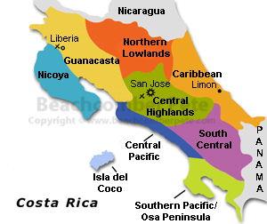
Southern Pacific/Osa Peninsula


Costa Rica’s southwestern shoreline extending from Dominical south to the Panama border is called the Southern Pacific and Osa Peninsula region. Rain soaked, humid and one of the most picturesque the Southern Pacific and Osa Peninsula region is sparsely uninhabited and some of the most remote sections of all of Costa Rica. From the steep mountains of the Fila Costena mountain range rising from the Pacific below, to the largest stretch of primitive rain forest found anywhere throughout Central America. The Southern Pacific region, with over 200 inches of rain a year, is known as one of the most biologically different and stunning locations in the world.
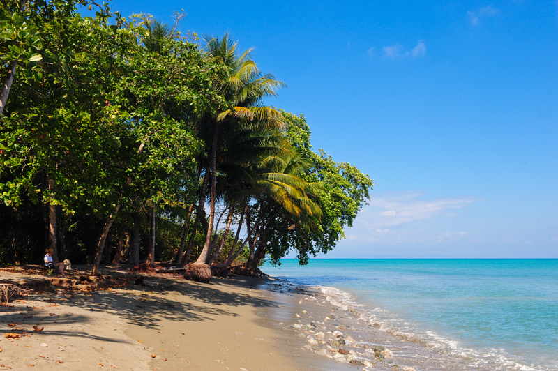
Ojochal Playa Ventanas Playa Dominical Manuel Antonio National Park

Osa Peninsula, Costa RicaUnlike other parts of Costa Rica, the Southern Pacific region has a rainy season lasting from April till December, yet the area still receives rain through out the months of January to March.

Traveling south along the Pan American highway from Dominical is Marino Ballena  National Park, named after the Humpback Wales that migrate to the area during the months of December till April. Farther south is the Bahia de Coronado with the beaches of Utiva, Playa Ventanas and Playa Tortuga also referred to by the locals as Ojochal. Miles and miles of long white sand beaches give way to the occasional coves with rock strewn beaches and lush tropical forest cascading into the Pacific waters. Swinging farther west, the Bahia de Coronado follows the shore line of the Valle de Diquisa, a large flat plain bisected by rivers and estuaries. To the north of the Valle de Diquisa are the towns of Palmer Norte and Palmer Sur, and to the south the large Peninsula de Osa.

Corcovado National Park with its large rainforest and its abundance of wildlife makes this area popular with the ecological minded tourist. The Oso Peninsula wraps around back to the north forming the Golfo Dulce. Continuing farther south along the Pan American highway the land gives way to the Valle de Coto Colorado. Large banana plantations extend through the two valleys from Palmer Norte south to Golfito. Farther south the region gives way to more tropical rain forest and the remote Peninsula Burica that Costa Rica shares with Panama.


The Southern Pacific region also is home to the isolated and volcanic Coco Islands and the Coco Island national Park, located some 300 miles southwest of the Osa Peninsula, the islands are a must see destination for scuba divers. Large and diversified marine species and schools of sharks, dolphins and sea rays make this a diver’s paradise.
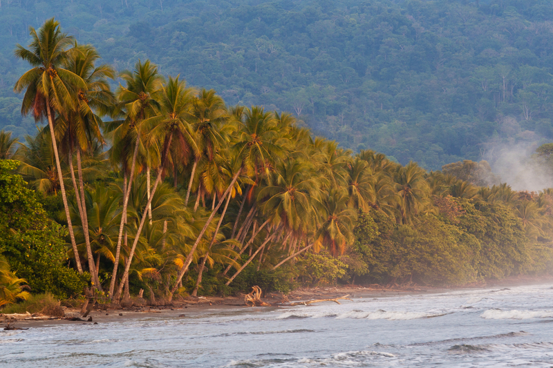
Uvita


Uvita is a wonderful tropical destination. In the late 1400s and early 1500s, Spain colonized Costa Rica, but civilization dates back to pre-recorded history with the indigenous people. Under foreign rule, the country was considered poor because it had no gold and silver, but little did they know of its natural resources. September 15, 1821 became Costa Rica’s Independence Day. Then, the country started exporting coffee and bananas. Today, the island country is rich in natural resources and beauty, and cities like Uvita are wonderful tropical destinations with many attractions for visitors to enjoy.
Coastline Uvita, Southern Pacific Costa RicaUtiva is just 10 miles down the coast from Dominical on Costa Rica’s South Pacific Coast. Travelers to Uvita will find several hotels, guesthouses and lodges are available offering reasonable rates on accommodations in the Uvita area.
Getting to Uvita is made easy, driving or taking a bus, one has two options. The first is to head out of San Jose to Quepos and then Dominical, the second is to come inland to San Isidro de El General and then head south to the coast. Another option is for travelers to fly from San Jose to Palmer Sur Airport and then drive up the coast to Uvita.
Attractions
Ballena Marine National Park – Uvita is located in this park. Ballena Marine National Parkhas some of the best beaches in Costa Rica. The spectacular scenery enhances the experience of relaxing on the sands and engaging in water sports and boating. Then, snorkeling and diving trips explore the fantastic marine habitats. From December through March, Humpback Whales are in the coastal waters.Coffee Plantations- Nearby coffee plantations are open for tours. People can enjoy walking among the coffee bushes and seeing how the coffee is prepared for marketing.Horseback Riding – On an animal farm near Uvita horseback riding is available. This farm and the property surrounding it have a wonderful collection of cows, monkeys and other animals.

Jungle Treks – The jungle is a true eco-adventure site. People can trek with a local guide to see beautiful streams as well as amazing native plants, animals and birds.

Surf Lessons – The surf is great off the coast of Uvita. For those who would like to learn how to surf or wish to learn more tricks of the sport can take lessons from experts.

Waterfalls – Waterfalls are found all over Costa Rica. Venturing on jungle paths often include seeing several falls. A large falls with pools for swimming is found in the canyon not far outside the city. Signs on the main road lead the way to the waterfall.


With so much to see and do around Uvita, visits to this paradise quickly pass. The friendly people, fresh food markets and many dining possibilities for any budget make strolling through the beach town a pleasant experience. Then, touring the coast, jungle forest and mango wetlands gives the chance to learn about the wildlife that lives in Costa Rica as well as the local efforts taken for nature conservation.

Palmar Sur


Palmar Sur lies in the Osa region of Southern Pacific Costa Rica. It is a small river town located next to the town of Palmar Norte and separated from it by the Rio Terraba. It is most easily reached by a domestic flight from the Juan Santamaria Airport. Palmar Sur has a regional airport and is scheduled to change and expand soon to an international airport .

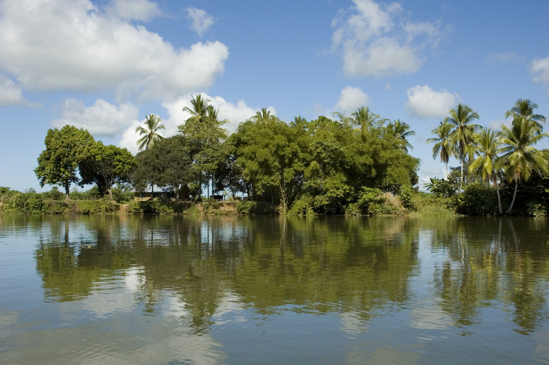
Palmar Sur is on the delta of the Sierpe River and is an important river port. It is also home to one of the largest mangrove swamps on the planet. Its charm and abundant wildlife make Palmar Sur a natural stop for a day tour. It is also a jumping off point for further exploration into the more southern areas of the Osa region of Costa Rica. The town has good riverside restaurants and several hotels.

Rio Sierpe, Palmar Sur, Costa RicaOne of the most mysterious aspects of Palmar Sur is its ancient Pre-Columbian stone spheres. They range in size from a small bowling ball to massive spheres over two meters in diameter and weighing up to 32,000 pounds. These diquis orbs are examples of incredibly precise stone carving in ancient times. The sculpting material of these highly polished stones is grandirorite which is not found in the local area. No stone working tools have ever been excavated. The spheres are generally found in groups of 12 to 20 and usually form geometric patterns that are often aligned to magnetic north. One investigator has found that images on one of the spheres duplicated a star constellation. Local legends tell of a magic potion that softened the rocks to make them workable. Other tales say that the spheres were game balls for giants. More legends relate the spheres to constellations. These inexplicable spheres can be found throughout the town, in the banana plantation, and even in the yards of residents. They are well worth a visit.


Palmar Sur is also a jumping off point for adventurous travel opportunities in Southern Pacific Costa Rica in the Osa Peninsula. Rainforest trips with organic cacao hunting may be scheduled and a tour of Corcovado National Park
with its 100,00 acres of pristine wildlife is a highlight. Surfing and sport fishing, whale watching, and white water rafting are just some of the popular activities in the Osa Penisula.